|
Airports
History
Links
skyvector.com
runwayfinder.com FAA AeroNav airnav.com Simulations: x-plane.com data.x-plane.com ivao.aero fseconomy.com reddit: r/aviation r/flying r/atc r/flightsim Donate BTC
Help us keep this website running!

|
Information on this page is community maintained
and may be outdated or inaccurate and is intended for simulator
navigating and reference only!
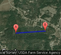
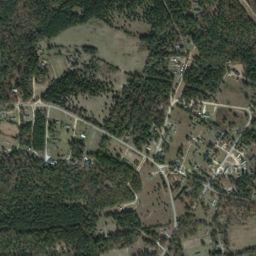
Always use approved charts for navigating. GA28 Teal Airpark
 Teal Airpark
(GA28)
Teal Airpark
(GA28)Hephzibah, Georgia, United States (30815) 
Distance To
Nearby WeatherUpdated 02-27-16 23:53 GMT
Nearby weather at KAGS, Augusta Rgnl At Bush Field
located 11.5 nautical miles from GA28
(Powered by phpweather)
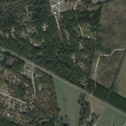
Runway 09 / 27
|
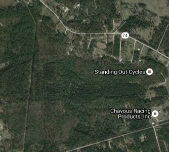
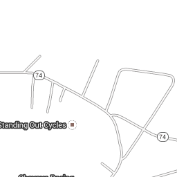
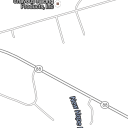
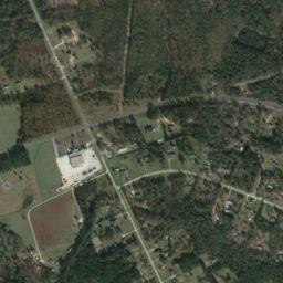
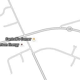
Google Map
Nearby Airports
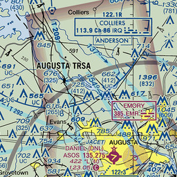
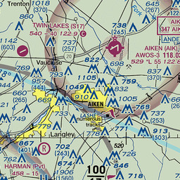
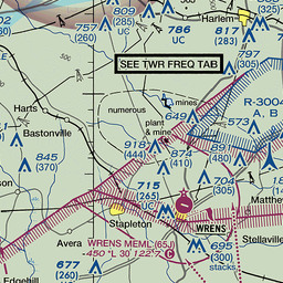
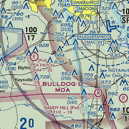
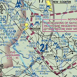
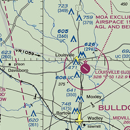
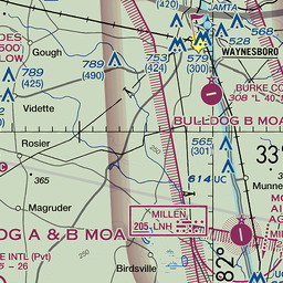
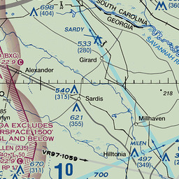
VFR Chart
|
||||||||||||||||||||||||||||||||||||||||||||||||||||||||||||||||||||||||||||||||||||||||||||||||||||||||||||||||||||||||||||||||||||||||||||||||||||||||||||||
 Australia
 Brazil
 Canada
 France
 Germany
 Italy
Italy Japan
Japan Malaysia
 Netherlands
 N Zealand
 Russia
 Spain
Spain UK
UK USA
USA


Information on this website may be inaccurate or outdated and is
intended for Flight Simulator navigating or for Pre-flight Training
purposes only!
© 2009 - 2015 airportnavfinder.com

Except where otherwise noted, text information on this page is licensed under a Creative Commons Attribution-NonCommercial-ShareAlike 4.0 International License.